Agencies begin high-resolution coastal mapping
The Florida Coastal Mapping Program (FCMaP) is an initiative between federal and state agencies and institutions to assess existing data and develop a strategy for mapping all of Florida’s coastal waters, from the shore to the shelf edge. Today’s maps are non-existent or incomplete – in the Gulf of Mexico off St. Petersburg, maps currently exist for just 19 percent of near-shore seabeds, and only six percent of off-shore beds.
Spearheading the drive are members of the St. Pete Ocean Team from the U.S. Geological Survey, and the Florida Institute of Oceanography. The goal is to have complete, consistent, high resolution data for all of Florida’s coastal waters by 2028.
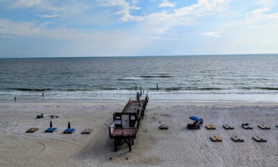
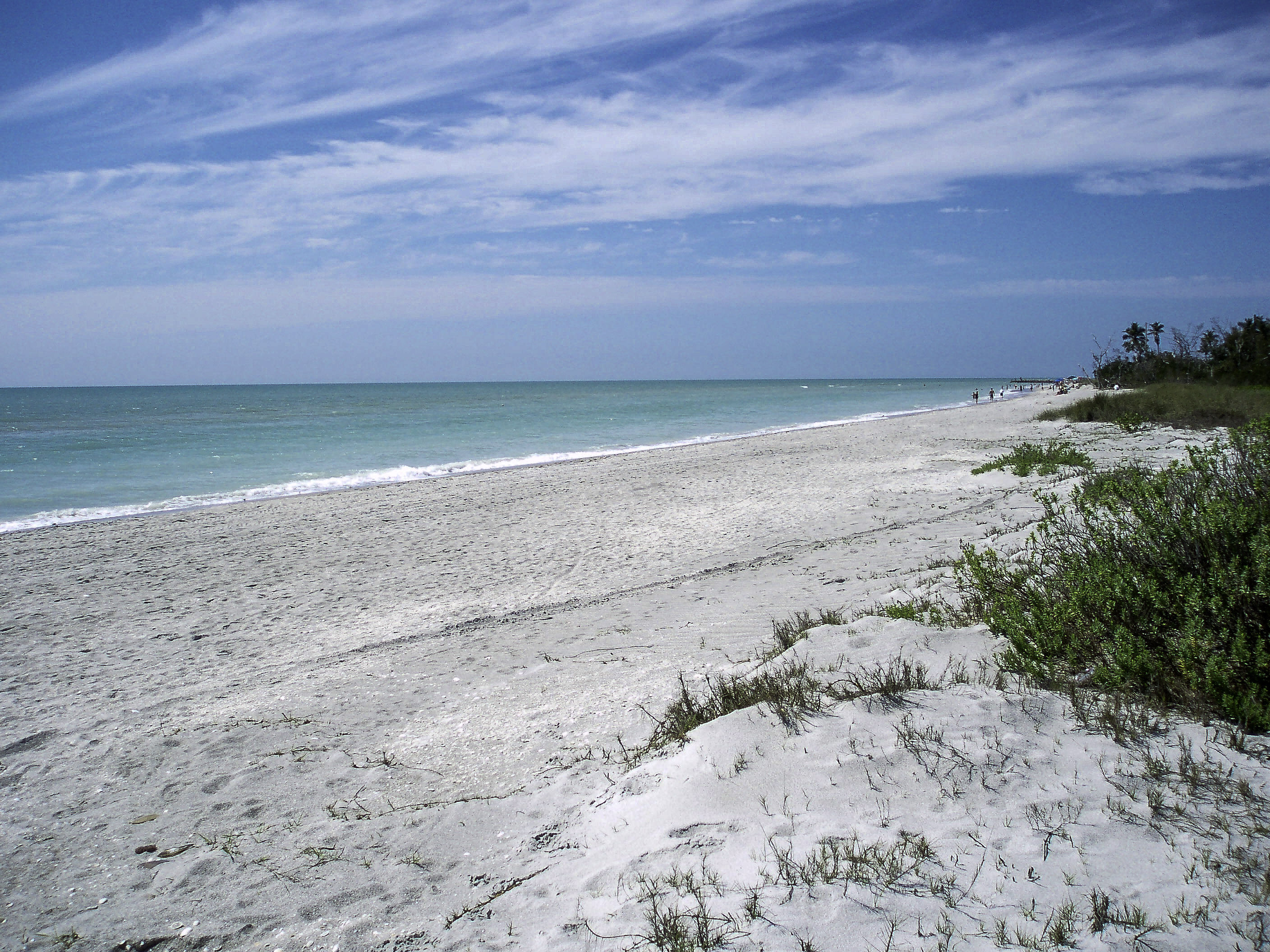
With the longest coastline in the contiguous United States (1,320 miles), Florida has some of the most valuable coastal waters in the nation, generating more than $30 billion in revenue per year. Florida not only has the largest number of recreational boats and saltwater fishermen in the country, it includes important marine mineral resources and unique ecosystems.
However, many areas of the Florida coast have not been mapped; many existing maps are old and of low resolution. Maps of the seabed are necessary to grow our marine-based industries, facilitate sustainable aquaculture and explore alternative energy. This information is also important to improve navigation and predict coastal vulnerabilities.
The agencies are coordinating mapping efforts, prioritizing new data collection, and setting consistent mapping standards.
These maps will benefit:
- Fishermen: Map critical fisheries habitats and spawning areas to conserve and enhance Florida’s fish and wildlife resources so they survive and thrive.
- Managers of harbors and inlets: Shoaling of navigation pathways can be hazardous, improving recreational boating safety for fishing, diving, and boating.
- Coastal storm models: Amount of flood hazard during hurricanes is directly related to the total water levels during a storm relative to the beach and dune elevation.
- Shoreline erosion planning: Features on the ocean floor (i.e. variations in seabed elevation) impact the wave energy reaching the coast.
- Nesting seabirds and turtles: Site their nests so they’re above the high tide.
- Offshore renewable energy: Know the best locations to site infrastructure.
- Communities: Identify sand sources for beach nourishment and coastal defense.
Learn more about it here.